Ascape 4 - Shenandoah KOA
Posted on 08/02/2020 in misc
Trip: 4
Total Nights: 9
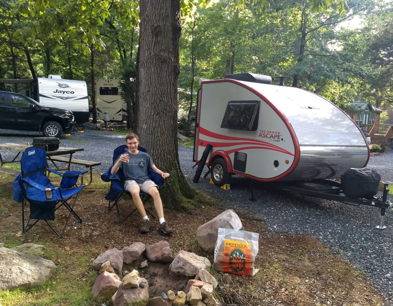
We took the Ascape out for the 4th time this weekend, this time a father-son trip to go hiking. On the drive up there must have been traffic on the Interstate as Google routed us on US Hwy 33 all the way from Richmond to Harrisonburg. So I got to tow over an old school mountain pass of hairpin turns. I’m happy to report the Edge handled just fine - no issues at all.
On the drive we listened to a couple of Andy Slavitt’s podcasts, because what better way to set up for a fun weekend than 2 hours of discussion about the pandemic? One of the episodes featured 2 epidemiologists rating on a scale of 1-10 how safe various activities are, with all the questions coming from listener suggestions. There were no real surprises. One of the guests talked about how he evaluates risk by how many breaths you may be sharing with a potentially infected person nearby. Flying was a 5, and neither of them has any intention of getting on a plane this calendar year. Visiting family, if done carefully, outside, and with proper social distancing in small groups, was a 6 or 7. It’s something they would do and have done. Camping was a 9 or 10. Basically stay outdoors and avoid indoor crowds is their general advice.
The Shenandoah KOA near Harrisonburg is a nice little campground. It has about 70 sites. There isn’t a ton of privacy but every site is heavily shaded. The bathrooms and showers were clean and kids were enjoying the pool. It looked like they were only allowing two family groups at a time in the pool. They also make pizzas on site and will deliver to your campsite. We didn’t partake of the pizza. I also saw my first A-liner in the wild. It was a classic A-liner. The retired couple that owned it took it from VA to Alaska and back last year. That would be one heck of a fun trip. I had several other folks stop to ask about the Ascape. It’s definitely a conversation starter. Maybe there is a business opportunity in renting Ascapes to single folks to take camping :)
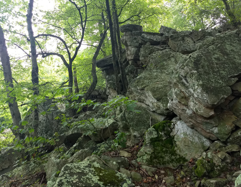
Saturday’s hike was this hike to Emerald Pond. It’s about 8 miles (ca. 13 km) RT. The first 1.5 miles (2.41 km) are uphill with some minor rock scrambling required to navigate the boulder fields. Once you get to the scenic overlooks at about 1.5 miles (2.41 km) it flattens out and becomes a nice stroll along the ridge line until you drop back in to a small valley at the pond. We were above the cloud layer on the way out but on the way back we got the view that made the climb worth the effort.
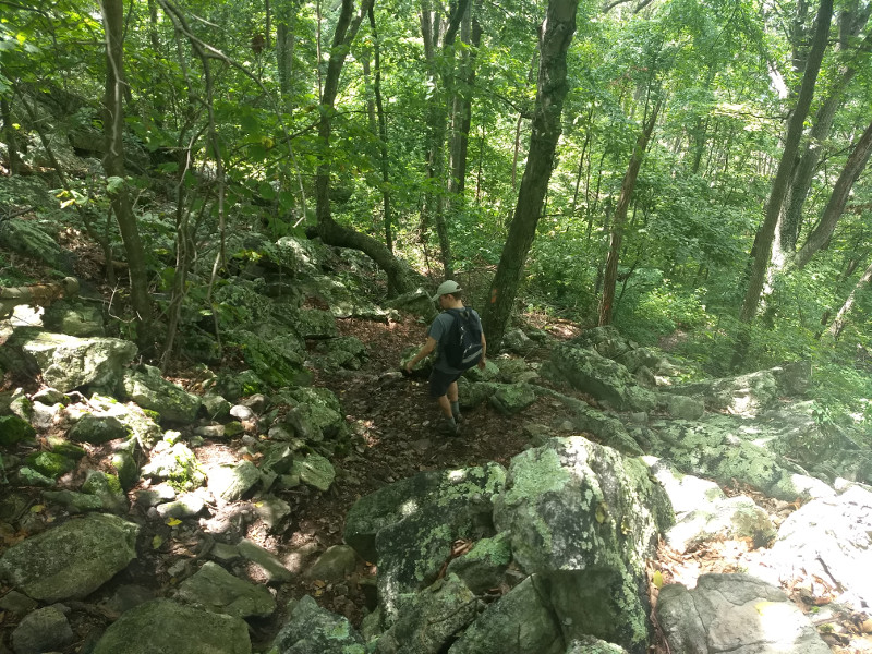
There were a couple of short rock scrambles to navigate.
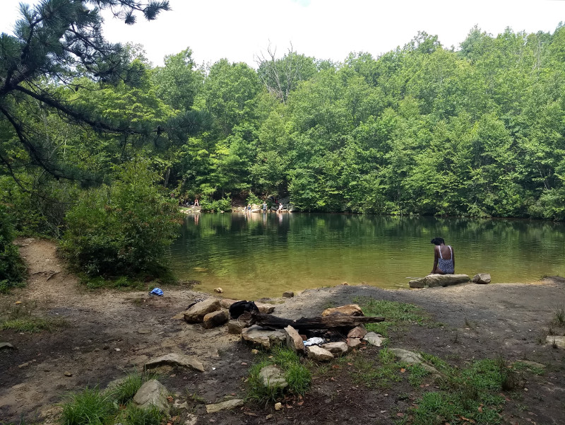
Emerald Pond - the turnaround point for the hike. It's about a half-mile from the nearest road, and that is a Forest Service Road. It's at least a few miles from pavement I think. There were a couple of nice looking primitive campsites if you want to hike in with your gear.
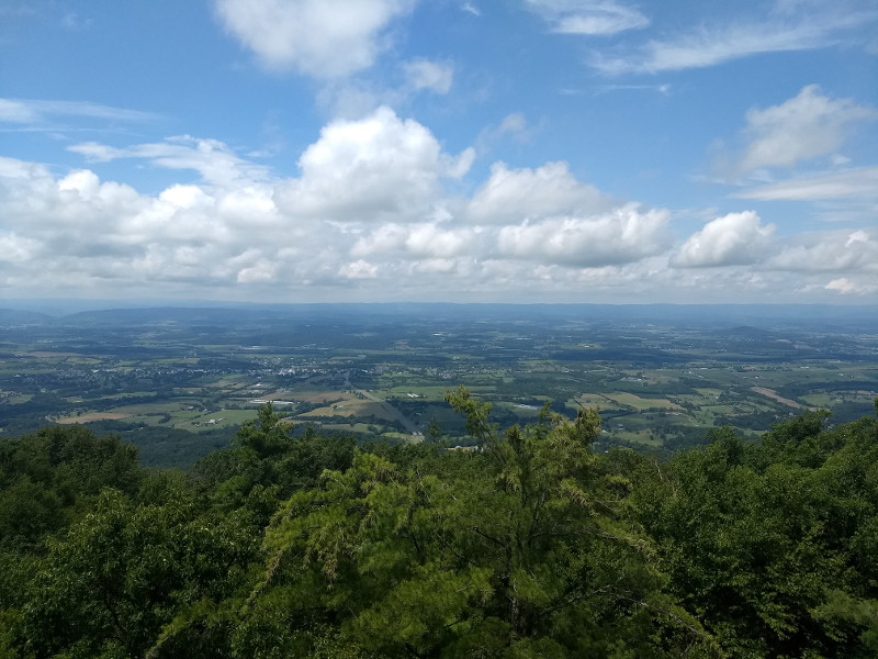
Looking west across Shenandoah Valley, from about 2800 ft. above sea level.
The rocks are almost worse on the way back down.
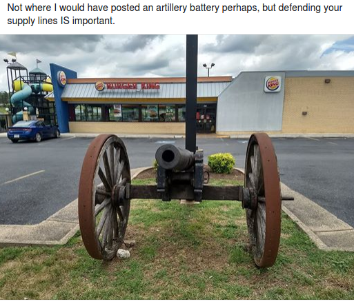
On the way back from hiking to I stopped for gas and my son captured this photo - the commentary is his.
The forecast for Saturday was 40% chance of rain in the morning and a 70% chance of heavy rain with thunderstorms after 2 PM. We were also under a flash flood watch. We got about 15 minutes of steady rain around 10 PM last night, and I think that was it. If it rained after midnight it wasn’t enough to wake me up. It’s a good lesson in not bailing out on camping because of the forecast, especially in the mountains where it can be so hit or miss. There was plenty of severe weather in the Shenandoah Valley last night, but it mostly missed the campground.
Our drive home was uneventful, just the way I like it. We are headed to Douthat in a couple of weeks and First Landing State Park at the end of the month.