AT-Beahms Gap to Marys Rock
Posted on 09/04/2017 in misc

I spent Labor Day laboring on the trail. I'm kidding of course. A bad day on the trail still beats a good day at work. Nothing at Hiking Upward was grabbing my fancy, so I created my own hike. I started at the Beahm's Gap overlook just north of the Thornton Gap entrance to Shenandoah National park, and hiked south to Mary's Rock, and then back. It was 10.2 miles with a total elevation gain of 2516.

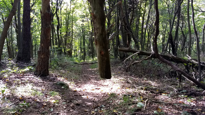
The hike starts gently enough. The southbound ascent over Pass Mountain is pretty gentle, and then you start a long slow decline down to Thornton Gap. You have to cross Hwy 211 so be careful as they are doing 55+ and not necessarily watching for hikers. The picture above is not an optical illusion. That large dead tree is hanging from the branches of another tree, about 3 feet off the ground. I have no idea how it got there. My best guess was somebody cut off the bottom, but there is no sign of a stump immediately below the hanging tree. If it had fallen and got caught up in the other tree it wouldn't be vertical. It's a mystery.

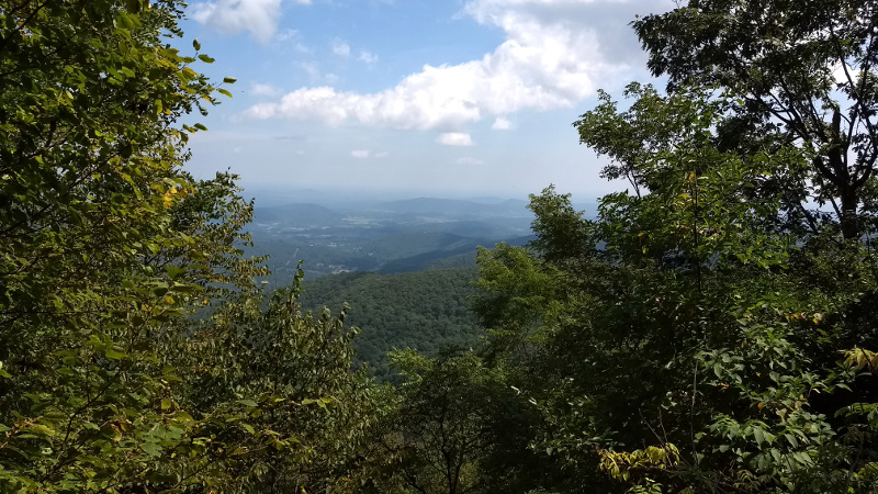
The hike gets much more difficult once you cross 211. At that point you start a 2 mile rocky slog uphill to the summit of Mary's Rock. I had some excitement when I encountered a bear on the trail, in a very narrow, twisty area. As he walked away along the trail I quickly lost sight of it due to several sharp turns in the trail. So I pulled out my whistle and got very loud for a few seconds to scare it off. I didn't see it again. I've had that whistle in my backpack for 6+ years and that was the first time I ever needed to use it. The 2 mile slog uphill will have amazing views to the east when the leaves are off the trees.

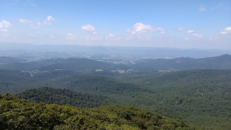
Not surprisingly, Mary's Rock was was busy. But I hike area regularly and I knew of granite ledge with a great view just 5 minutes South on the AT, so I headed to that rock for a nice quiet lunch before hitting the summit.

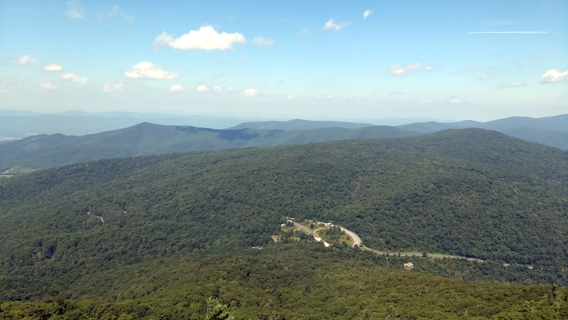
The road you see below is 211, the road I mentioned crossing. It is about 1200 feet below where I took this picture. 1200 feet up in 1.8 miles is about a 12% grade. I think the view is worth it.
The hike back to the car was uneventful. Going down a rocky 12% grade is not much more fun than going up though.